-
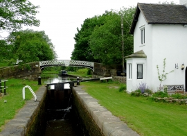
Hazelhurst Top Lock west of Horsebridge in Staffordshire
-
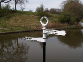
Canal signpost
Hazelhurst Top Lock west of Horsebridge in Staffordshire
Canal signpost
Location and coordinates are for the approximate centre of Dun Wood within this administrative area. Geographic features and populated places may cross administrative borders.