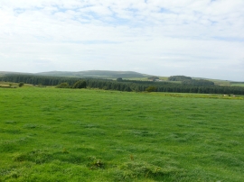
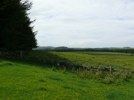
Drumnescat Loch, Carlisle

« Gazetteer Entry
Upload Photo

Drumnescat Loch, Carlisle

  • Unitary Authority: Carlisle
  • Region: Scotland
  • Category: Water Feature
  • Type: Inland Water
  • Latitude/Longitude: 54°48'55"N 4°35'15"W
  • Eastings/Northings: 233829, 549796
  • OS Grid: NX338497
  • Mapcode Local: GBR HH1Z.HBK
  • Mapcode Global: WH3V4.H7N8

Location and coordinates are for the approximate centre of Drumnescat Loch within this administrative area. Geographic features and populated places may cross administrative borders.

BritishPlaceNames.uk is a Good Stuff website.