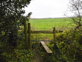
Downend Coppice, Dorset

« Gazetteer Entry
Upload Photo

Downend Coppice, Dorset

  • Parish/Community: Chettle
  • District/Borough: North Dorset
  • County: Dorset
  • Region: South West
  • Category: Landcover
  • Type: Forest or Wood
  • Latitude/Longitude: 50°56'7"N 2°5'36"W
  • Eastings/Northings: 393525, 115098
  • OS Grid: ST935150
  • Mapcode Local: GBR 2ZX.CHW
  • Mapcode Global: FRA 66HM.XXF

Location and coordinates are for the approximate centre of Downend Coppice within this administrative area. Geographic features and populated places may cross administrative borders.

BritishPlaceNames.uk is a Good Stuff website.