-
Little Palgrove Hall Cottages
-

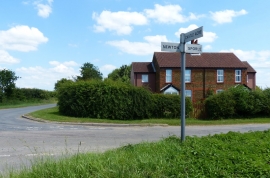
Farmland north of Sporle
Little Palgrove Hall Cottages
Farmland north of Sporle
Location and coordinates are for the approximate centre of Double Plantation within this administrative area. Geographic features and populated places may cross administrative borders.