-
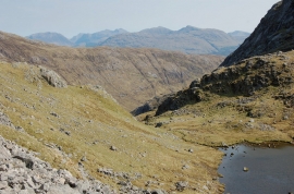
Lochan Coire an Iubhair and the Glen Coe peaks
-
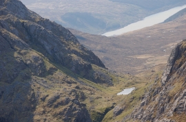
Lochan Coire an Iubhair
Lochan Coire an Iubhair and the Glen Coe peaks
Lochan Coire an Iubhair
Location and coordinates are for the approximate centre of Doire nan Dearcag within this administrative area. Geographic features and populated places may cross administrative borders.