-
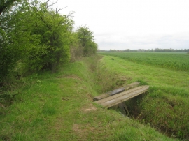
Plank bridge on Robin Hood's Way
-
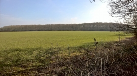
View towards Roe Wood
Plank bridge on Robin Hood's Way
View towards Roe Wood
Location and coordinates are for the approximate centre of Dale's Wood within this administrative area. Geographic features and populated places may cross administrative borders.