-
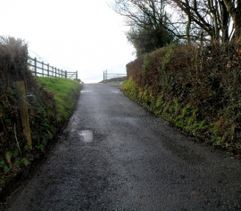
Access road to Graigwith Farm near Llangybi
-
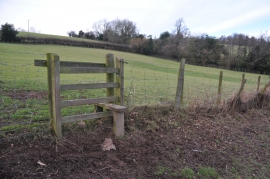
Stile on footpath to Pen-y-parc
Access road to Graigwith Farm near Llangybi
Stile on footpath to Pen-y-parc
Location and coordinates are for the approximate centre of Dale's Wood within this administrative area. Geographic features and populated places may cross administrative borders.