-
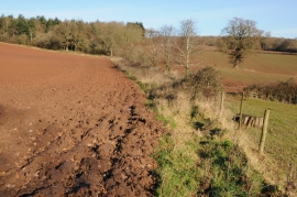
The Herefordshire Trail at Kentchurch
-
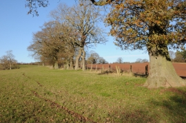
Oak trees in a fence
The Herefordshire Trail at Kentchurch
Oak trees in a fence
Location and coordinates are for the approximate centre of Daffodil Wood within this administrative area. Geographic features and populated places may cross administrative borders.