-

Fields, Llanerchir
-
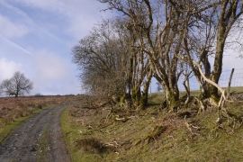
Grown out hedge
Fields, Llanerchir
Grown out hedge
Location and coordinates are for the approximate centre of Cwmcroua Dingle within this administrative area. Geographic features and populated places may cross administrative borders.