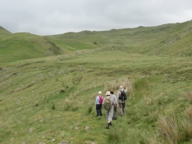
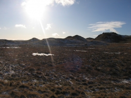
Cwm Teifi, Ceredigion

« Gazetteer Entry
Upload Photo

Cwm Teifi, Ceredigion

  • Parish/Community: Ystrad Fflur
  • Unitary Authority: Ceredigion
  • Region: Wales
  • Category: Geographic Feature
  • Type: Valley
  • Latitude/Longitude: 52°17'16"N 3°47'57"W
  • Eastings/Northings: 277369, 267067
  • OS Grid: SN773670
  • Mapcode Local: GBR 94.XWSD
  • Mapcode Global: VH5CK.3R9D

Location and coordinates are for the approximate centre of Cwm Teifi within this administrative area. Geographic features and populated places may cross administrative borders.

BritishPlaceNames.uk is a Good Stuff website.