-
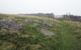
Gate, wall and stile en route for Cwm Silyn
-
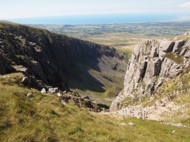
Cwm Silyn
Gate, wall and stile en route for Cwm Silyn
Cwm Silyn
Location and coordinates are for the approximate centre of Cwm Silyn within this administrative area. Geographic features and populated places may cross administrative borders.