-

Summit area of Bryn
-
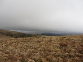
View SE from Bwlch Main
Summit area of Bryn
View SE from Bwlch Main
Location and coordinates are for the approximate centre of Cwm Banw within this administrative area. Geographic features and populated places may cross administrative borders.