-
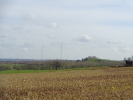
Crutch Hill with Wychbold radio masts behind
-
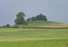
Crutch Hill, near Droitwich, Worcestershire
Crutch Hill with Wychbold radio masts behind
Crutch Hill, near Droitwich, Worcestershire
Location and coordinates are for the approximate centre of Crutch Hill within this administrative area. Geographic features and populated places may cross administrative borders.