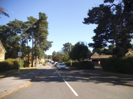
Crown Wood, Bracknell Forest

« Gazetteer Entry
Upload Photo

Crown Wood, Bracknell Forest

  • Built-Up Area: Bracknell
  • Parish/Community: Bracknell
  • Unitary Authority: Bracknell Forest
  • Region: South East
  • Category: Populated Place
  • Type: Suburban Area
  • Latitude/Longitude: 51°23'57"N 0°44'20"W
  • Eastings/Northings: 487822, 167464
  • OS Grid: SU878674
  • Mapcode Local: GBR D82.602
  • Mapcode Global: VHDXB.43P1

Location and coordinates are for the approximate centre of Crown Wood within this administrative area. Geographic features and populated places may cross administrative borders.

BritishPlaceNames.uk is a Good Stuff website.