-
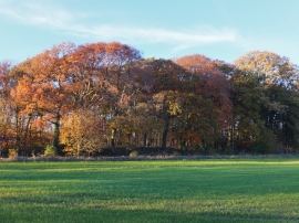
Autumn colours, Millfield Wood
-

Farmland to the north of Rawcliffe Road
Autumn colours, Millfield Wood
Farmland to the north of Rawcliffe Road
Location and coordinates are for the approximate centre of Crow Wood within this administrative area. Geographic features and populated places may cross administrative borders.