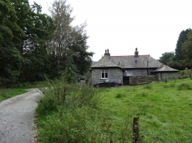
Crow How Wood, Cumbria

« Gazetteer Entry
Upload Photo

Crow How Wood, Cumbria

  • Built-Up Area: Ambleside
  • Parish/Community: Lakes
  • District/Borough: South Lakeland
  • County: Cumbria
  • Region: North West
  • Category: Landcover
  • Type: Forest or Wood
  • Latitude/Longitude: 54°26'17"N 2°58'21"W
  • Eastings/Northings: 337010, 505195
  • OS Grid: NY370051
  • Mapcode Local: GBR 7KP3.6R
  • Mapcode Global: WH826.9PPW

Location and coordinates are for the approximate centre of Crow How Wood within this administrative area. Geographic features and populated places may cross administrative borders.

BritishPlaceNames.uk is a Good Stuff website.