-

Steep path to the summit of Crooksbury Hill
-
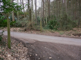
Looking across Smugglers Way from Crooksbury Lane
Steep path to the summit of Crooksbury Hill
Looking across Smugglers Way from Crooksbury Lane
Location and coordinates are for the approximate centre of Crooksbury Hill within this administrative area. Geographic features and populated places may cross administrative borders.