-
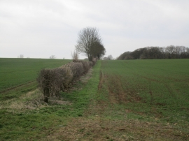
Field edge and Crook's Firs
-
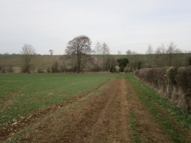
The bridleway to Croughton
Field edge and Crook's Firs
The bridleway to Croughton
Location and coordinates are for the approximate centre of Crook's Firs within this administrative area. Geographic features and populated places may cross administrative borders.