-
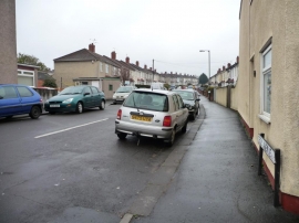
Cecil Avenue, BS5
-

New housing in Mallard Close
Cecil Avenue, BS5
New housing in Mallard Close
Other current and historical names
Location and coordinates are for the approximate centre of Crofts End within this administrative area. Geographic features and populated places may cross administrative borders.