-
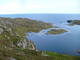
The blue lagoon
-

Gingerly entering the anchorage between Gighay and Hellisay
The blue lagoon
Gingerly entering the anchorage between Gighay and Hellisay
Location and coordinates are for the approximate centre of Càrnach within this administrative area. Geographic features and populated places may cross administrative borders.