-

All pointing the same way, Borth
-
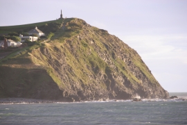
Craig yr Wylfa in evening sun
All pointing the same way, Borth
Craig yr Wylfa in evening sun
Location and coordinates are for the approximate centre of Craig yr Wylfa within this administrative area. Geographic features and populated places may cross administrative borders.