-

Islaw Craig y Dderwen / Below Craig y Dderwen
-
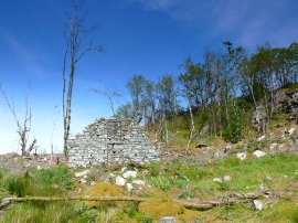
Adfeilion yn y fforest / Ruins in the forest
Islaw Craig y Dderwen / Below Craig y Dderwen
Adfeilion yn y fforest / Ruins in the forest
Location and coordinates are for the approximate centre of Craig y Ganllwyd within this administrative area. Geographic features and populated places may cross administrative borders.