-
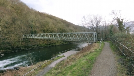
Footbridge over River Tawe
-
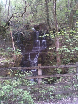
Brecon Railway Waterfall
Footbridge over River Tawe
Brecon Railway Waterfall
Location and coordinates are for the approximate centre of Craig-y-fforest within this administrative area. Geographic features and populated places may cross administrative borders.