-
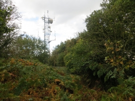
Communications mast on Craig-y-dorth
-
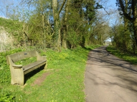
Seat beside a country road
Communications mast on Craig-y-dorth
Seat beside a country road
Location and coordinates are for the approximate centre of Craig-y-Dorth within this administrative area. Geographic features and populated places may cross administrative borders.