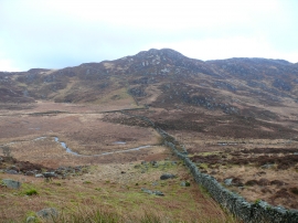
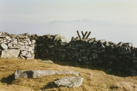
Craig Aderyn, Gwynedd

« Gazetteer Entry
Upload Photo

Craig Aderyn, Gwynedd

  • Parish/Community: Llanelltyd
  • Unitary Authority: Gwynedd
  • Region: Wales
  • Category: Geographic Feature
  • Type: Hill or Mountain
  • Latitude/Longitude: 52°47'0"N 3°58'51"W
  • Eastings/Northings: 266500, 322500
  • OS Grid: SH665225
  • Mapcode Local: GBR 5W.XRGX
  • Mapcode Global: WH56F.T9JF

Location and coordinates are for the approximate centre of Craig Aderyn within this administrative area. Geographic features and populated places may cross administrative borders.

BritishPlaceNames.uk is a Good Stuff website.