-
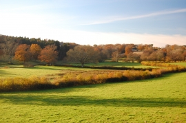
View towards Goddenwick Wood
-

Flood warning on descent to Cockhaise Brook
View towards Goddenwick Wood
Flood warning on descent to Cockhaise Brook
Location and coordinates are for the approximate centre of Crabland's Shaw within this administrative area. Geographic features and populated places may cross administrative borders.