-
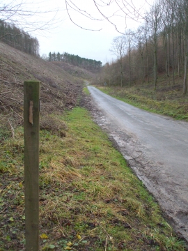
Recently cleared Cowhouse Wood
-
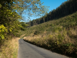
Road up Scawton Howl
Recently cleared Cowhouse Wood
Road up Scawton Howl
Location and coordinates are for the approximate centre of Cowclose Wood within this administrative area. Geographic features and populated places may cross administrative borders.