-

The Red Lion, Willenhall
-
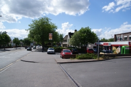
Spar shop on Wolverhampton Road West
The Red Lion, Willenhall
Spar shop on Wolverhampton Road West
Location and coordinates are for the approximate centre of County Bridge within this administrative area. Geographic features and populated places may cross administrative borders.