-
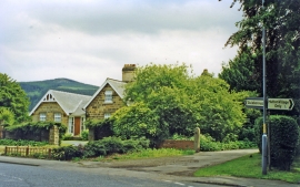
Hutton Lane, near site of Hutton Gate station
-
Hutton Gate railway station (site), Yorkshire
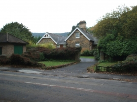
Hutton Lane, near site of Hutton Gate station
Hutton Gate railway station (site), Yorkshire
Location and coordinates are for the approximate centre of Cottage Plantation within this administrative area. Geographic features and populated places may cross administrative borders.