-
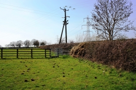
Public footpath near Wilmire House
-
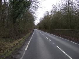
Wynyard Road
Public footpath near Wilmire House
Wynyard Road
Location and coordinates are for the approximate centre of Corner's Plantation within this administrative area. Geographic features and populated places may cross administrative borders.