-
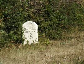
Milestone on the B1113 The Turnpike
-

B1113 The Turnpike & Milestone
Milestone on the B1113 The Turnpike
B1113 The Turnpike & Milestone
Location and coordinates are for the approximate centre of Cordwell within this administrative area. Geographic features and populated places may cross administrative borders.