-
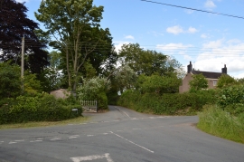
Audley: crossroads on Barthomley Road
-
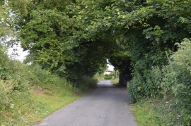
Audley: Barthomley Road
Audley: crossroads on Barthomley Road
Audley: Barthomley Road
Location and coordinates are for the approximate centre of Coopers Green within this administrative area. Geographic features and populated places may cross administrative borders.