-

The Old Stables on Kings Lane
-
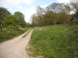
Path off Kings Lane, Cookham Dean
The Old Stables on Kings Lane
Path off Kings Lane, Cookham Dean
Location and coordinates are for the approximate centre of Cookham Dean within this administrative area. Geographic features and populated places may cross administrative borders.