-

Lane off B1106 to Timworth Heath
-
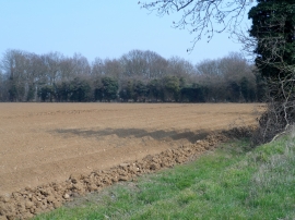
Field ready for potatoes near Timworth Heath
Lane off B1106 to Timworth Heath
Field ready for potatoes near Timworth Heath
Location and coordinates are for the approximate centre of Conyer's Plantation within this administrative area. Geographic features and populated places may cross administrative borders.