-
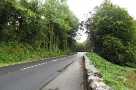
The A5 to Llangollen
-
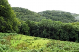
Looking across a field towards Gallt y Pandy
The A5 to Llangollen
Looking across a field towards Gallt y Pandy
Location and coordinates are for the approximate centre of Conway Falls Plantation within this administrative area. Geographic features and populated places may cross administrative borders.