-
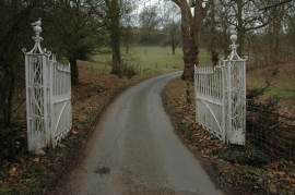
Gates on a road on Shurdington Hill
-
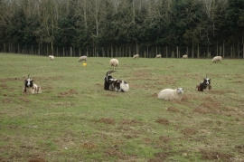
Jacob sheep
Gates on a road on Shurdington Hill
Jacob sheep
Location and coordinates are for the approximate centre of Commom Furze Wood within this administrative area. Geographic features and populated places may cross administrative borders.