-
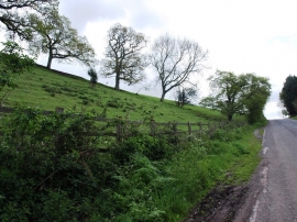
Rising ground next to Coombesend Road East
-
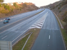
A380 at Kingsteignton
Rising ground next to Coombesend Road East
A380 at Kingsteignton
Location and coordinates are for the approximate centre of Combesend Wood within this administrative area. Geographic features and populated places may cross administrative borders.