-
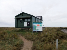
Wardens hut at Colne Point Nature Reserve
-
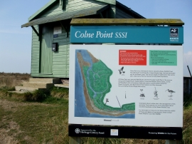
Colne Point Nature Reserve
Wardens hut at Colne Point Nature Reserve
Colne Point Nature Reserve
Location and coordinates are for the approximate centre of Colne Point within this administrative area. Geographic features and populated places may cross administrative borders.