-
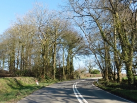
Bend on the A30 near Higher Collyforches Farm
-

Access road, Collyforches Farm
Bend on the A30 near Higher Collyforches Farm
Access road, Collyforches Farm
Location and coordinates are for the approximate centre of Collyforches Plantation within this administrative area. Geographic features and populated places may cross administrative borders.