-
Shelducks on the Blythburgh Estuary
-

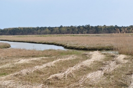
The View from Blythburgh Hide
Shelducks on the Blythburgh Estuary
The View from Blythburgh Hide
Location and coordinates are for the approximate centre of Collins's Island within this administrative area. Geographic features and populated places may cross administrative borders.