-
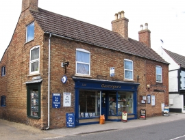
Collingham - newspaper shop on High Street (No 103)
-
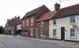
Collingham - west side of High Street
Collingham - newspaper shop on High Street (No 103)
Collingham - west side of High Street
Location and coordinates are for the approximate centre of Collingham within this administrative area. Geographic features and populated places may cross administrative borders.