-
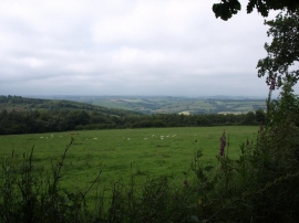
Grassland next to minor road from Clifford Bridge to Moretonhampstead
-
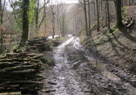
Track by the Teign
Grassland next to minor road from Clifford Bridge to Moretonhampstead
Track by the Teign
Location and coordinates are for the approximate centre of Coledridge Wood within this administrative area. Geographic features and populated places may cross administrative borders.