-
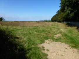
Farmland west of Holkham Park in Norfolk
-
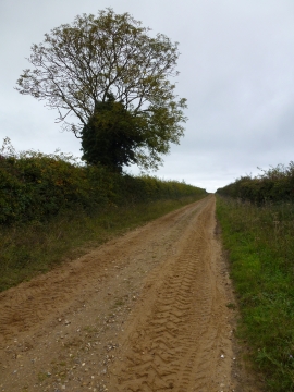
Tree and sandy track in Norfolk
Farmland west of Holkham Park in Norfolk
Tree and sandy track in Norfolk
Location and coordinates are for the approximate centre of Coldham's Cross Wood within this administrative area. Geographic features and populated places may cross administrative borders.