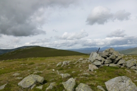
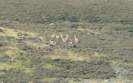
Coire Nam Madadh, Perth and Kinross

« Gazetteer Entry
Upload Photo

Coire Nam Madadh, Perth and Kinross

  • Unitary Authority: Perth and Kinross
  • Region: Scotland
  • Category: Geographic Feature
  • Type: Cirque or Hollow
  • Latitude/Longitude: 56°48'34"N 3°37'38"W
  • Eastings/Northings: 300740, 769851
  • OS Grid: NO007698
  • Mapcode Local: GBR KBDQ.K3N
  • Mapcode Global: WH5M6.73YJ

Location and coordinates are for the approximate centre of Coire Nam Madadh within this administrative area. Geographic features and populated places may cross administrative borders.

BritishPlaceNames.uk is a Good Stuff website.