-
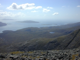
View west southwest from An Cliseam
-
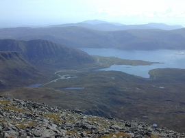
View southwest from An Cliseam
View west southwest from An Cliseam
View southwest from An Cliseam
Location and coordinates are for the approximate centre of Coire Dubh within this administrative area. Geographic features and populated places may cross administrative borders.