-
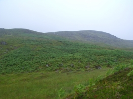
Coire a' Ghiubhais near Loch Ericht
-
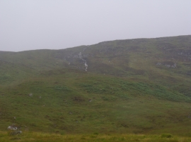
Allt Coire a' Ghiubhais near Loch Ericht
Coire a' Ghiubhais near Loch Ericht
Allt Coire a' Ghiubhais near Loch Ericht
Location and coordinates are for the approximate centre of Coire A' Ghiubhais within this administrative area. Geographic features and populated places may cross administrative borders.