-
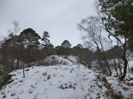
Coille Coire Chuilc (Wood of the Reedy Corrie)
-
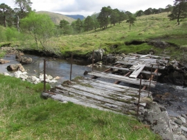
Old footbridge over Allt Gleann Auchreoch, S of Dalrigh near Crianlarich
Coille Coire Chuilc (Wood of the Reedy Corrie)
Old footbridge over Allt Gleann Auchreoch, S of Dalrigh near Crianlarich
Location and coordinates are for the approximate centre of Coille Coire Chuilc within this administrative area. Geographic features and populated places may cross administrative borders.