-
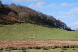
Grazing near Cefngweiriog
-
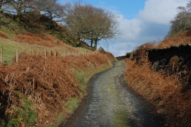
Lane heading for Furnace
Grazing near Cefngweiriog
Lane heading for Furnace
Location and coordinates are for the approximate centre of Coed Ynystudur within this administrative area. Geographic features and populated places may cross administrative borders.