-

Coed y Pwll-llyn
-
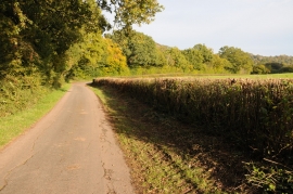
Country road near Llangeview
Coed y Pwll-llyn
Country road near Llangeview
Location and coordinates are for the approximate centre of Coed y Pwll-llyn within this administrative area. Geographic features and populated places may cross administrative borders.