-
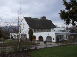
Gwent Crematorium
-
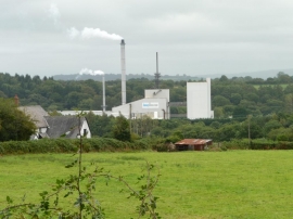
Knauf Insulation's glass mineral wool plant, Cwmbran
Gwent Crematorium
Knauf Insulation's glass mineral wool plant, Cwmbran
Location and coordinates are for the approximate centre of Coed y Gwaelod within this administrative area. Geographic features and populated places may cross administrative borders.